張家界の山がまだ現れる前に、私はまずスマホを頼りになる小さな道具に変えることを覚えた
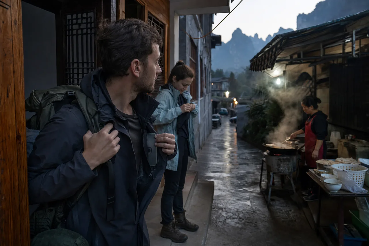
At 6:20 a.m. on October 18, 2025, I stood at the wooden doorway of a small guesthouse in Wulingyuan, Zhangjiajie, with one hand pulling the strap of my backpack and the other taking my phone from the inner pocket of my jacket. Dawn had not fully arrived. Steam was rising from a breakfast stall at the end of the lane, where the owner was turning rice noodles beside an iron pot, and the mountains in the distance looked like a damp, cold wall of shadow. I was a traveler from Europe, and my university friend Mira was still adjusting her raincoat near the stairs. We were heading toward Tianzi Mountain, Yuanjiajie, and Golden Whip Stream. The guesthouse owner had warned us the night before that mountain weather changed quickly, and that phone signal could become uneven while waiting for cable cars and shuttle buses. At that moment I did not rush out. I stood by the door and checked my phone again. I wanted it to be less fancy and more dependable, because in a mountain scenic area like Zhangjiajie, a phone is not just a camera. It becomes the ticket pouch, map, weather station, translator, and emergency tool for the day.
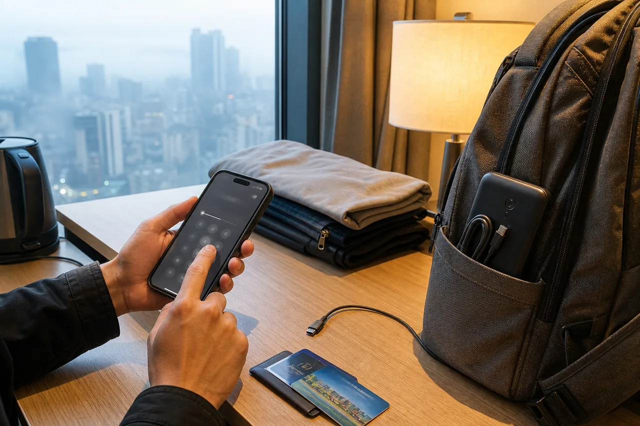
The first thing I did was not open the camera. I adjusted the screen brightness to a level that was visible in the morning mist but not wasteful for the battery. After charging the phone fully the night before, I had unplugged it instead of leaving it connected all night, and in the morning it still showed ninety-eight percent. The power bank was in the side pocket of my bag, with a short cable coiled neatly and the connector facing outward, so I would not need to search through the bag while standing in a queue. I turned on battery saver mode, disabled automatic downloads, automatic updates, and unnecessary background refresh, and kept only the permissions for weather, maps, payment, translation, communication, and scenic-area services. On earlier trips I had treated my phone like a mobile office, with email, cloud storage, and social apps all active. Before going out in Zhangjiajie, I changed it into something more like a plain pocket tool, where every function had to be useful in damp, crowded, and unreliable conditions.
Weather was the item I checked most carefully. The mountains of Zhangjiajie are not small slopes in a city park; elevation, valleys, and mist can divide one day into several seasons. At the guesthouse door the air felt mild, but the weather app showed a colder perceived temperature higher up, light rain around midday, and stronger wind in the afternoon. I did not rely on a single app. I compared a Chinese weather app, the scenic-area notice page, and a screenshot sent by the guesthouse owner. I saved a screenshot of the hourly forecast and marked the likely rain period and the wind changes. The point was not to make myself nervous. The point was to still know, without internet, when to put on the raincoat, when not to linger too long on a narrow viewing platform, and when to allow more time for a cable-car queue.
Maps could not depend only on live positioning. Before leaving, I downloaded offline maps for the area around Zhangjiajie National Forest Park, the Wulingyuan entrance, Tianzi Mountain Cableway Station, the area near Bailong Elevator, the Yuanjiajie transfer points, and the main walking route of Golden Whip Stream. After the download finished, I turned off mobile data and tested it once to make sure the routes, place names, and saved points still appeared. Many mountain paths are not complicated by themselves, but when crowds gather, shuttle stops, forks, and viewing platforms can become confusing, especially when signs are blocked by umbrellas and people. My offline map included not only scenic spots but also toilets, medical points, visitor centers, exit directions, and the location of our guesthouse. I also wrote the latest return time in an offline note: if we had not reached a certain transfer point by 3:30 p.m., we would not add another stop and would head directly toward the downhill transport.
I did not keep ticket and reservation information inside only one app. I took screenshots of the scenic-area e-ticket, the photo page of my identity document, my passport number, the guesthouse address, the entrance for that day, the cable-car purchase record, and the shuttle-bus transfer notes, then placed all those images in an album named “Zhangjiajie Today.” I enlarged each screenshot beforehand to confirm that the name, date, ticket type, and entrance information were clear. To prevent the phone gallery from trying to load cloud-only files under weak signal, I made sure those screenshots were stored locally and opened them once in airplane mode. Mira saved the same ticket information on her phone as well. We photographed each other’s passport information page, but we did not send it into any public chat group; we kept it inside encrypted albums on our own devices. This kind of preparation may sound plain, but it reduces the panic of searching for details at ticket gates, service counters, and corners of crowded queues.
Payment preparation also needed to be conservative. Mobile payment in China is very convenient, but the network near small shops, cable-car stations, and stalls inside a mountain scenic area is not always stable. I confirmed that both Alipay and WeChat Pay could open, that my usual bank card was active, and that I had a small amount of cash in a waterproof pouch. I did not store full photos of bank cards on the phone. Instead, I kept the bank customer-service number and the last digits of the card in an offline note, in case I needed to report a lost card. To reduce accidental charges, I lowered the no-password payment limit and decided not to connect to unfamiliar free Wi-Fi after leaving the guesthouse. At crowded entrances, I kept the phone in an inner pocket near the front of my jacket instead of letting it remain visible. Zhangjiajie’s scenery makes people raise their phones constantly for photos, but during queues and boarding, I preferred the phone to stay quietly in one fixed place.
I also adjusted language and translation settings to suit the day better. My system language is usually English, but I checked the region settings in the map and payment apps to avoid unexpected messages that I could not understand during ticket purchase or entry checks. The translation app had offline Chinese and English packs downloaded, and I saved several sentences in advance: which entrance we wanted, where the nearest visitor center was, whether we could take a shuttle bus there, where to descend if the cable car was suspended, and that we needed help but were not injured. Keeping these sentences in favorites was more reliable than typing them under wind, noise, and crowds. Mira laughed and said I looked as if I were preparing for a small field expedition. I told her it was not anxiety; it was simply making the act of asking for help easier before help was needed.
Contact planning between travel companions cannot rely only on instant messages. When mountain signal is weak, messages may arrive late, and voice calls may break up. Mira and I marked each other as emergency contacts in our phone address books. We saved the guesthouse owner’s number, the scenic-area service hotline, the travel insurance number, and a friend’s number in China directly on the phones, not only inside chat history. We agreed that if we got separated in a crowd, we would not keep walking while searching for each other. Instead, we would stop at the nearest clear place, such as a shuttle-bus platform, the entrance of a visitor center, or the open space outside a restroom. If messages failed for fifteen minutes, we would move toward the meeting point marked on the offline map. We also sent the day’s route to a friend in Shanghai and told her that if she had not received our safe-arrival message by 8:00 p.m., she could call the guesthouse first.
Water and drop protection mattered more than I had expected. The mist in Zhangjiajie does not stay only in the distance; it settles on railings, steps, backpack straps, and screens. My phone was not a new flagship with the strongest protection, so I placed it in a transparent waterproof pouch, rolled the opening tightly, and kept it inside my jacket. I took it out only when I wanted a photo and put it away immediately afterward. A waterproof pouch is not ideal for long charging sessions, so I kept a small dry cloth bag inside the backpack for moments when I needed to connect the power bank. On the back of the phone case, I attached a small paper label with my name, the guesthouse phone number, and the number of a friend in China, sealed under clear tape. That way, even if the phone ran out of power, someone who found it would have a chance to contact us instead of facing only a black screen.
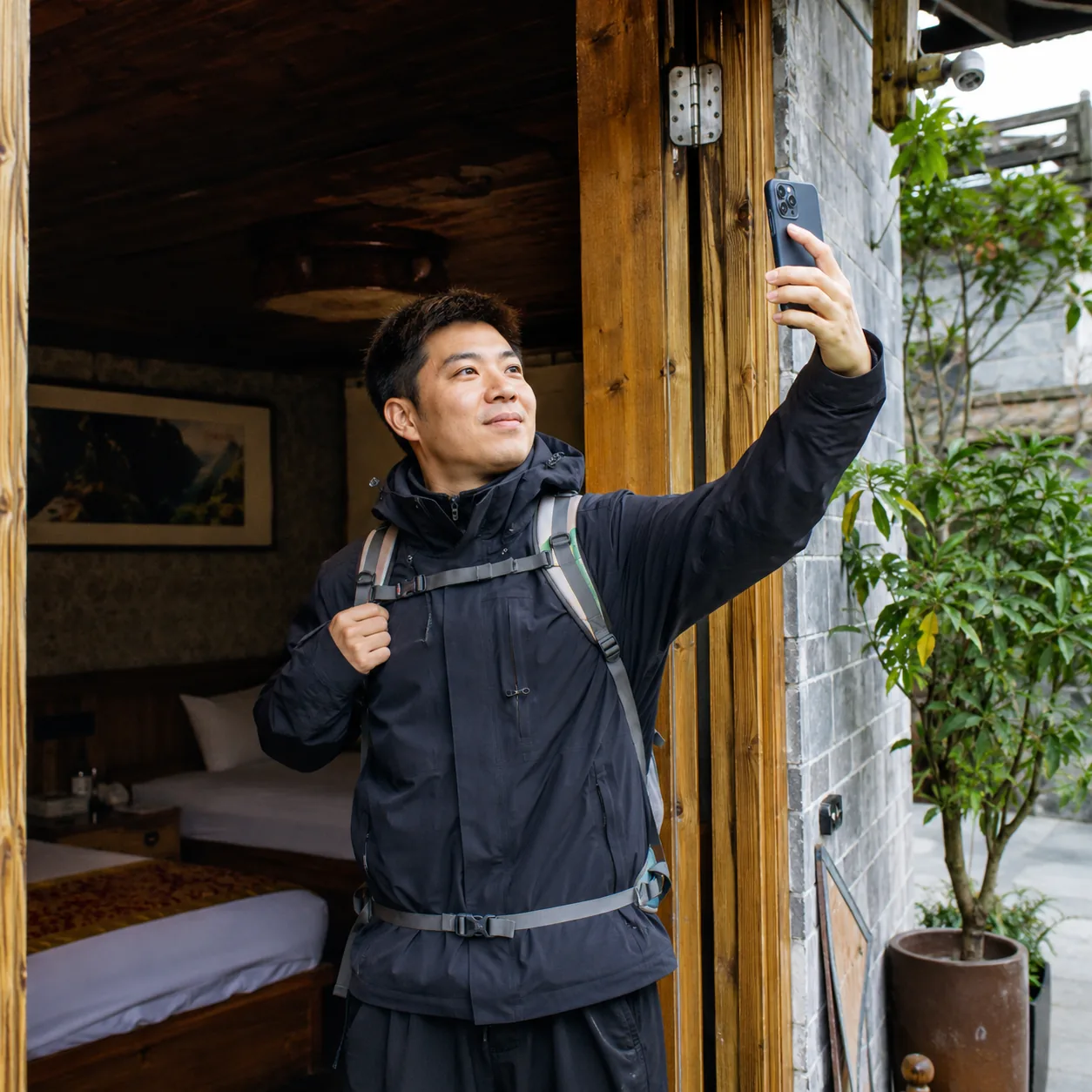
To make the phone more reliable, I also made it speak less. I turned off notification sounds but kept vibration. I removed entertainment apps from the home screen and left only six icons: weather, maps, the ticket album, payment, translation, and phone. The camera stayed available from the lock screen, but I disabled automatic cloud upload. I did this for two reasons. One was battery life, and the other was attention. Some boardwalks and stone steps in Zhangjiajie can be slippery. If attention is constantly pulled away by likes, messages, and news headlines, it becomes easy to miss what is underfoot. I did not want the phone to keep calling me back while I was looking at the mountains, and I did not want to stop on a narrow path to answer a message that was not urgent. That day, the phone needed to support the journey, not command my attention.
After finishing the check at the guesthouse door, we walked toward the breakfast stall. While eating hot rice noodles, I did one final offline test: opening the ticket album, the offline map, the saved translation sentences, and the scenic-area phone number in the contacts. Each one appeared without mobile data. The stall owner noticed how carefully I was checking and laughed, saying that the fog would be heavy and the photos would be beautiful, but we should not look only at screens. I nodded, put the phone back into the inner pocket, and zipped it closed. Her words reminded me that preparing the phone was not about staring at it longer. It was about reducing the amount of time I had to depend on it. Once we were on the mountain, I wanted most of my time to be spent using my eyes to watch the path, the clouds, and the rock walls, not switching between apps.
The first test came at the entrance. There were many people, umbrellas were open, and the sounds of ticket machines, footsteps, and guides calling out mixed together. My phone vibrated inside my jacket, and the signal dropped from full bars to two. I did not try to refresh the ticket page. I opened the ticket screenshot stored on the phone and prepared the document page. A staff member glanced at the information and told us that one section of trail required a detour because of maintenance, with an alternative route written on a notice board nearby. I photographed the notice board at once and added a star to the detour point on the offline map. The action took less than a minute, but it prevented hesitation later when we might hear different explanations on the mountain. The phone did not become smarter there; it simply kept clear information from disappearing.
The shuttle-bus queue made me appreciate the benefit of making the phone simpler. Around the station, visitors were checking routes and filming videos, and the signal suddenly became crowded, with many pages spinning as they loaded. I did not open social apps or search for last-minute guides. I looked only at the transfer note saved in advance: from the Wulingyuan entrance to one stop, then transfer toward the cable car. Mira watched the station signs, and I watched the time and battery. We agreed to confirm the destination before each ride and, after getting off, step aside before checking the phone, instead of stopping at the vehicle door. Mountain roads have many bends, and shuttle buses start and brake quickly. Looking down for a page while standing on the boarding step can block others and make you unstable. No amount of phone preparation can replace basic physical safety.
The wind became more obvious near the cable-car station. Mist rose from the valley, and the crowd moved more slowly. I opened the weather screenshot again and confirmed that light rain was possible around midday, so before entering the station we moved the raincoats from the bottom of the bag to the top instead of searching for them in the queue after the rain began. The phone still had eighty-seven percent battery, and I did not use the wait to watch videos. I placed it screen-down inside the inner pocket and let it rest. Halfway through the queue, a broadcast announced that wind conditions had changed, the operating speed would be adjusted, and the waiting time might increase. Because we had already allowed extra time for the afternoon, we did not become irritated and did not immediately rewrite the whole route. We simply checked the latest return point in the note again.
On the mountain, the signal began to change like the weather. Sometimes messages appeared all at once; sometimes the map location froze where we had been several minutes earlier. I did not treat this as a phone failure. I followed the method I had prepared: read physical signs, check the terrain direction on the offline map, observe the main flow of people, and confirm with uniformed staff. Around Yuanjiajie there are many viewing platforms with similar names, and if the blue location dot drifts, it can make you think you have already reached a different platform. I photographed several key points together with their signs. The photos carried time information, so even if the map became inaccurate, we could review the order of places we had passed. The record was not elegant, but it was useful in thick mist, heavy crowds, and areas with many forks.
Photography was naturally part of the Zhangjiajie trip, but I set limits for the camera as well. I took out the phone only when I was behind a railing, standing on a dry surface, and not blocking the way. When taking selfies, I did not lean backward and did not extend the phone beyond the railing. If someone stopped in the middle of a narrow step to record a long video, I waited rather than squeezing past from behind. The wide-angle lens could fit more peaks into the frame, but it could also make the distance near my feet feel misleading. I preferred taking fewer pictures to placing my attention in the wrong place for a better composition. A photo can be taken again. A slip on a mountain path does not become worthwhile just because the picture looks good.
When light rain arrived around noon, several preparations became useful at once. The raincoats were near the top of the bag, the waterproof pouch was ready, the weather screenshot told us the shower should not last long, and the offline map showed a visitor service point not far ahead. We did not stand under a tree trying to rethink the route. We walked to the eaves of the service point, drank water, ate the biscuits we had brought, and connected the phone to the power bank for a short while. While charging, I placed the phone in the dry cloth bag to prevent moisture inside the waterproof pouch from affecting the port. After more than ten minutes, the rain weakened. We did not rush out immediately. We first checked whether the next section included a long stairway. Part of phone safety in the mountains is making charging, route checking, and resting happen in places that are safe, dry, and not blocking others.
In the afternoon near Golden Whip Stream, the phone’s role changed again. The gorge had many trees, the light was dim, the sound of water covered notification tones, and location became slower. This area did not require frequent ticket checks, but it did require attention to the distance between companions. I changed the phone from silent to stronger vibration and kept it where I could feel it. When Mira walked ahead, she stopped every so often in a wider place so that too many tour groups would not come between us. We also agreed not to wear earbuds in both ears, because the sound of water, vehicle alerts, and reminders from other visitors could all be safety information. The phone contained music and podcasts, but I did not open them on that section. The natural sounds were already rich enough, and more importantly, they told me what was happening around me.
At one point we almost went the wrong way. A temporary sign at a junction was partly hidden by umbrellas, the crowd split in two directions, and the phone location remained frozen. I did not choose by instinct, and I did not keep walking just to see what happened. I asked Mira to stand still with the bag while I went to a nearby staff post. To avoid a translation misunderstanding, I opened a saved sentence and pointed to the destination on the offline map. The staff member quickly showed the correct direction and reminded us that the steps there were wet and that we should go slowly. When I returned to Mira, I photographed the junction and added a short note on the map. That small moment made me more certain that the most reliable use of a phone is not pretending it always knows the answer, but helping me ask a clearer question when it does not.
Battery management became important around four in the afternoon. By then many visitors had taken a large number of photos, and phone heat, gallery syncing, navigation, and short videos were consuming power together. I checked my own battery and saw fifty-eight percent, with the power bank barely used. That number gave us room to handle return information: checking the last shuttle reminders, confirming the downhill direction, and messaging the guesthouse about roughly when we would return to Wulingyuan. After sending the message, I waited until it showed as delivered, then took a screenshot of the chat so I would not wonder later whether the message had failed during a signal jump. For the remaining route, I took out the phone only when necessary and kept the screen off as much as possible. The goal is not to save battery for its own sake, but to reserve it for moments that truly require judgment and contact.
On the return shuttle, everyone looked tired. The windows were fogged, and phone screens flickered across people’s faces. I did not immediately organize photos. Instead, I checked the day’s safety points: we were still on the same vehicle, the guesthouse knew our approximate return time, the phone had enough battery, the payment apps could open, and the offline map still showed the guesthouse location. Before getting off, I touched the zippers of my backpack to confirm that the power bank, document pouch, and phone were all there. When we left the station, the sky had darkened, and the lights on the Wulingyuan street were on. The breakfast stalls had become dinner stalls. I sent a safe-arrival message to the friend in Shanghai and replied to the guesthouse owner that we were almost back. By then the phone was returning to a city network, but there was no need to restore every notification immediately.
After returning to the guesthouse room, I slowly released the phone from its “mountain mode.” First I wiped the waterproof pouch and phone case dry, then checked whether there was moisture near the charging port. After that, I backed up the important ticket images, detour notice, and signpost photos to a local drive instead of relying only on the cloud. Useless duplicate photos could be deleted later; key screenshots needed to be preserved first. I also compared the actual route with the original plan and found that what had helped most was not a magical app, but several plain actions: saving information in advance, testing it offline, reducing notifications, keeping the phone in a fixed place, confirming roles between companions, and using the phone only in safe spots. Zhangjiajie’s mountains are magnificent, but they do not become less complex just because a visitor’s phone is smarter.
If someone asks me how to prepare a phone before going out in Zhangjiajie, I would not give a dazzling list of apps. I would say: first decide what the phone must accomplish that day, then turn down everything else. Weather should be viewable offline, maps should work offline, ticket and document information should open without signal, cable-car and shuttle-bus details should be saved in advance, the power bank should be easy to reach, and companions should have a meeting method that does not depend on the network. Payment should be convenient, but not all confidence should rest on connectivity. Photography should be enjoyable, but the road underfoot should not be ignored for the mountain inside the screen. This kind of phone preparation does not look sophisticated, but it fits Zhangjiajie well: the mountains have mist, rain, queues, elevation changes, and scenery so powerful that one glance upward can make you forget the screen.
At about nine that night, I sat by the window and charged the phone. Outside, visitors were still pulling luggage along the street, and rainwater dripped from the eaves onto the stone pavement. Mira looked through the photos beside me and laughed, saying we had not taken that many, but we remembered exactly where each one had been taken. I watched the phone screen light up again as notifications slowly returned, but I did not reopen every app at once. The simpler and steadier setup from the day had made everything easier: when I needed the phone, it had power, information, routes, and contacts; when I did not need it, it did not keep pulling me out of the mountains and back into the screen. For me, that was the most worthwhile phone preparation before going out in Zhangjiajie. It did not aim for perfect control. It simply gave me a little clarity and room between weather, mountain paths, crowds, and unstable signal.