私は中国で、名前を暗記するのではなく地理で歴史を理解することを学んだ
I am from France, and I loved history when I was a student. But after coming to China, I realized how flat my earlier learning had been. I could remember dynasty names, war dates, and imperial successions, yet once I stood on real Chinese ground, that knowledge often felt like labels floating in the air. Only when I began to look at maps, terrain, rivers, city gates, mountain passes, and transport routes together did Chinese history become truly three-dimensional for me. For a foreign traveler, this shift is not only an upgrade in knowledge. It also affects how you plan routes, judge relationships between cities, and even understand why present-day life looks the way it does.
The first place that gave me this shock was Xi’an. Before visiting the Terracotta Army, I simply treated it as an “important attraction.” But once I walked through the city, looked at the city wall, and considered the Guanzhong Plain and the surrounding terrain, I began to understand why this area mattered so deeply in ancient times. Many historical decisions did not happen only as abstract choices in court. They were built on geography, agricultural support, transport corridors, and defensive needs. That was the moment I understood that if a foreign traveler only reads artifact labels in a museum without placing them back into real geography, they understand only half the story.
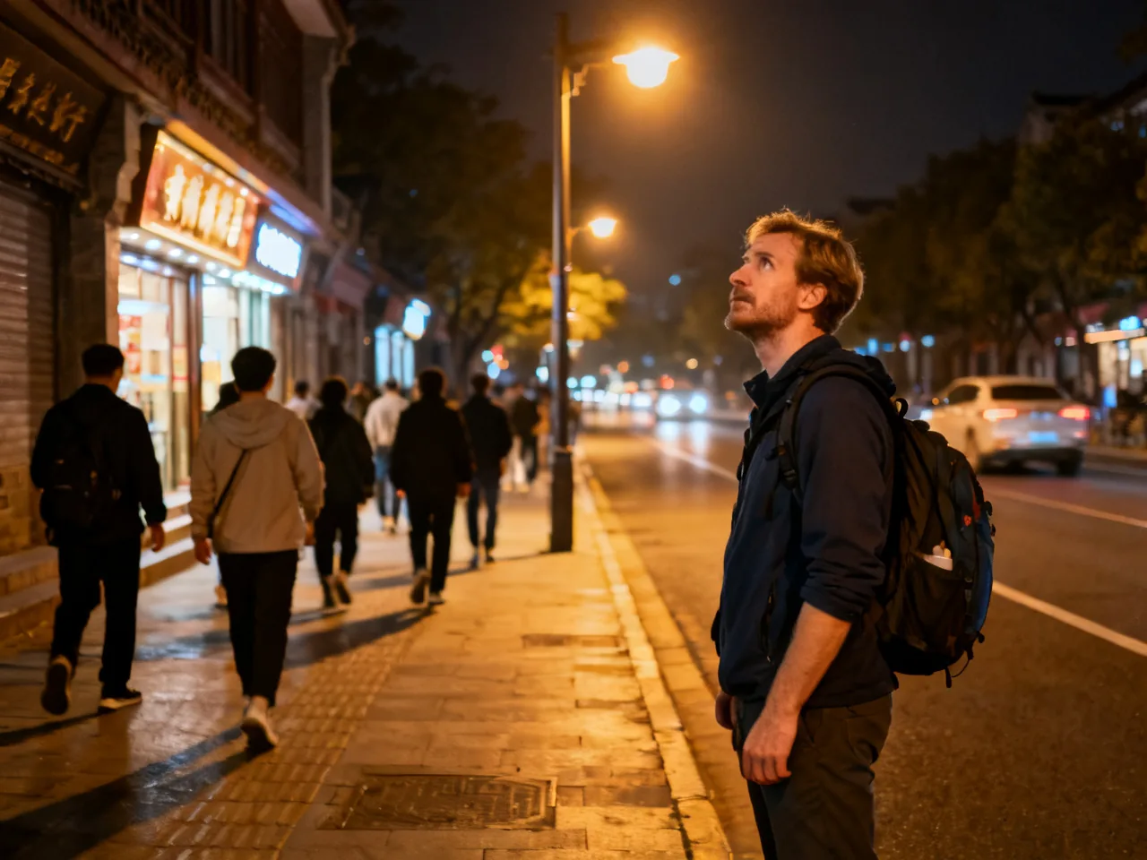
Later, when I went to Luoyang and Kaifeng, I had similar experiences. I used to ask, “What happened during this dynasty?” Later, I started asking, “Why did it happen here?” Once the question changed, my way of observing travel changed as well. I began noticing river positions, the relationship between plains and mountains, and whether today’s railways and expressways still follow older transport corridors. Chinese history is not a pile of isolated events. It is a network tightly bound to space. The more you can read that network, the less you feel like a tourist who only takes photos.
This geographic way of understanding also improved my sense of safety and my route judgment. In the northwest, for example, I became more sensitive to why distances between cities feel so significant and why certain supply nodes matter so much. In Jiangnan, I became better at understanding how water networks shape walking rhythm, commercial concentration, and movement patterns under changing weather. Knowledge no longer stayed in books. It entered my bodily experience directly. Once a person understands geography, it becomes easier to understand why some places require slower pacing and why some routes require an earlier start.
One experience in Shanxi shows this especially well. Before going to Pingyao, I thought of it simply as an “ancient town.” But as the vehicle approached, I began paying attention to the surrounding terrain and road organization. I realized it was not a nostalgic space preserved in isolation. It had once been a real node embedded in transport and defensive logic. After entering the town, the way I walked changed too. I no longer searched only for the most famous photo spots. I tried to read gate directions, street structure, and the distribution of merchant houses. Suddenly, history was no longer a backdrop. It felt like a map that could be read through walking.
This method also helped me avoid a common mistake: treating China as merely “huge, ancient, and full of stories.” Those words are too vague. What actually helps is specificity. Which river, which plain, which pass, which mountain road shaped people’s choices? This specificity gives more substance to conversations with locals and adds judgment to visits at ruins, museums, and old streets. You even begin to respect ordinary-looking terrain details more, because you understand that they may have shaped a city’s destiny for centuries.

If foreign friends ask me how to understand Chinese history better, I suggest starting with the following actions.
- Before visiting a site, study a map, not just the ticket page.
- Ask yourself “Why here?” not only “What happened here?”
- Look at terrain, rivers, transport, and urban development together; history becomes easier to remember.
- When walking through an old city or historical site, observe direction and spatial relations, not only landmarks for photos.
- Once you understand geography, many travel judgments and safety rhythms improve as well.
I often return to articles such as understanding China through geography and travel, observing the spatial structure of ancient capitals, and route judgment in historical cities, because they keep reminding me that what a person should see in China is not only the famous name itself, but the geographic logic behind that name. Only then does history step off the page and truly connect with the road under your feet.